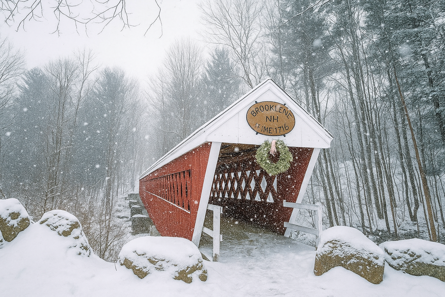
Lakes Region and Lake Winnipesaukee Covered
Bridges
- Albany Covered Bridge Length:
120 feet Built: 1858 Albany – North of the Kancamagus Highway, 6 miles west of Conway on Dugway Road.
- Blair Covered Bridge Length:
292 feet Built: 1869 Campton – East of Route 3, 2 miles north of Livermore Falls on Blair Road.
- Bump Covered Bridge Length:
68 feet Built: 1972 Campton – 1 mile east of Route 175 on Bump Road at Campton Hollow.
- Clark’s Trading Post Covered Bridge Length:
116 feet Built: 1965 Lincoln – Located at Clark’s Trading Post, along Route 3.
- Durgin Covered Bridge Length:
96 feet Built: 1869 Sandwich – 1.5 miles north of Route 113, 2 miles east of North Sandwich on Durgin Road.
- Flume Covered Bridge Length:
50 feet Built: 1871 Lincoln – East of Route 3 at the Flume Gorge.
- Jack O’ Lantern Covered Bridge Length:
76 feet Built: 1986 Woodstock – Route 3, .25 miles south of exit 30 off I-93.
- Saco River Covered Bridge Length:
2 span, 225 feet Built:1890 Conway – .25 miles north of Route 16.
- Sentinel Pine Covered Bridge Length:
61 feet Built: 1939 Lincoln – East of Route 3 in the Flume Gorge.
- Smith Milennium Covered Bridge Length:
171 feet Built: 2001 (rebuilt) Plymouth – .5 miles north of Route 3A, 2.5 miles west of Plymouth on Smith Bridge Road.
- Squam River Covered Bridge Length:
61 feet Built: 1990 Ashland – Off Route 3 on River Street.
- Swift River Covered Bridge Length:
129 feet Built: 1870 Conway – .5 miles north of Route 16.
- Turkey Jim’s Covered Bridge Length:
60 feet Built: 1958 (rebuilt) Campton – On Old Stephans Road. Just east of Route 3 and north of Route 49.
- Whittier Covered Bridge Length:
132 feet Built: 1870 Ossipee – West of Route 16 on small road which is used to connect Route 16 and Route 25.